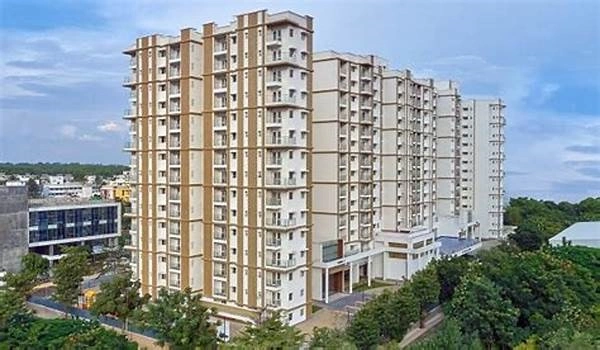
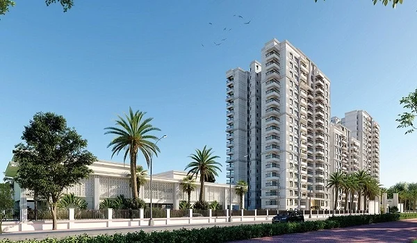
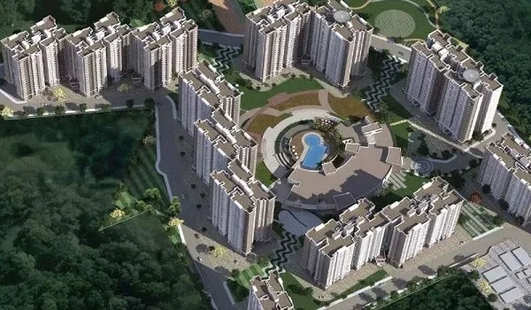
Nambiar Beverly Green Direction

Featured Image of Nambiar Beverly Green Direction


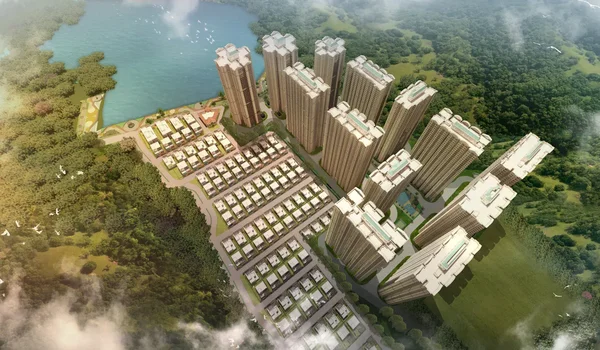
Nambiar Beverly Green direction is in the southern direction of Bannerghatta Road, south of Bangalore. The project's coordinates are 12.823744, 77.571837. Bannerghatta Road runs north into the city centre and south into Bannerghatta National Park, and this address lies on that southern reach, near Bilwaradahalli.

From the site, the city centre lies north, reaching along Bannerghatta Road through Gottigere and Hulimavu. Electronic City and Bommasandra lie east, reached via NICE Road from the Gottigere junction.

Jigani and Anekal lie east and south-east, further along the same highway. Bannerghatta National Park and the Nature Camp lie directly south, just 3 km from the gate.

Commuting Directions From This Address


Bannerghatta Road is the only spine here, and every route to the wider city runs through it.

Towards the City Centre

Bannerghatta Road runs north from the site, past Gottigere and Hulimavu, up to Jayadeva Hospital. There, the Outer Ring Road crosses, opening the route toward the city's southern and eastern arc. This is the direction toward Majestic and central Bangalore.

Towards Electronic City and the East

NICE Road crosses Bannerghatta Road near Gottigere, north of the site. From there, it runs east toward Hosur Road, Electronic City, and Bommasandra, avoiding the city centre entirely.

Towards the Airport

The airport lies far north, on the opposite edge of the city. Two routes lead there. One goes north through the city centre to Hebbal. The other goes west along NICE Road from Gottigere toward Tumkur Road.

Towards the Metro

The closest functional metro stations, Yelachenahalli and Silk Institute, are located to the north-west of the site, along the main corridor. Kalena Agrahara, the upcoming Pink Line terminus, is directly north on Bannerghatta Road.

Basic Facilities and Their Direction From Nambiar Beverly Green


Schools, hospitals, malls, and tech parks near this address mostly lie north, along or just off Bannerghatta Road.

Schools

Ryan International School, the nearest at 3 km, sits north on Bannerghatta Road. EuroSchool Bannerghatta and Chrysalis High School follow in the same northward direction.

Schools further out, like National Public School in JP Nagar and Delhi Public School Bengaluru South, sit further north-west toward the city.

Hospitals

Medax Hospitals, Gottesbere, at 5.9 km, is located north on Bannerghatta Road. Noble Multispecialty Hospital and Narayana Nethralaya are on the same flight of stairs north. Fortis and Apollo Hospitals are still further north, toward the city-side of the corridor.

Malls

Royal Meenakshi Mall and Nexus Vega City Mall are situated north of the location, both on Bannerghatta Road. Forum South Bengaluru and Elegance Mantri Mall are towards the north-west now, and Gopalan Innovation Mall and M5 Ecity Mall are located in the east, nearer to the Electronic City side.

Tech Parks

Electronic City, the largest employment hub here, lies east of the site, reached via NICE Road. Primeco Towers, the nearest individual tech park, sits north-east off the corridor. Kalyani Magnum Tech Park, IBC Knowledge Park, and the other tech parks lie further north and east, along the NICE Road and Outer Ring Road belt.

Why the Direction of This Address Matters


This place is good because of what lies this way and that way. To the south, we have forest and a national park which keep the area green. The north provides the city, a soon-to-come metro line, and recognized schools and hospitals.

East, by a nice road, is now just a 30-minute drive to Electronic City. Rare are the addresses in Bangalore that so well serve all three directions.

FAQs


1. In which direction does Nambiar Beverly Green face on Bannerghatta Road?

It sits on the southern stretch of Bannerghatta Road, with the city centre to the north and the national park to the south.

2. What are the coordinates of Nambiar Beverly Green?

The coordinates are 12.823744, 77.571837.

3. Which direction is Electronic City from Nambiar Beverly Green?

Electronic City lies east of the site, reached via NICE Road from the Gottigere junction.

4. Which direction is the nearest metro station from Nambiar Beverly Green?

Yelachenahalli and Silk Institute lie north-west of the site, off the main Bannerghatta Road corridor.

5. Which direction is Bannerghatta National Park from Nambiar Beverly Green?

The national park and Nature Camp lie directly south of the site, just 3 km away.

Enquiry
Enquire Now