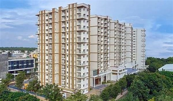
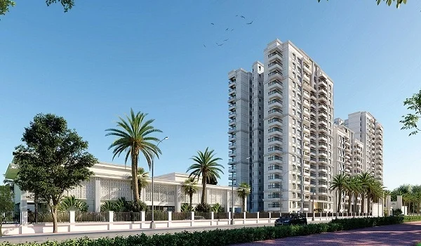
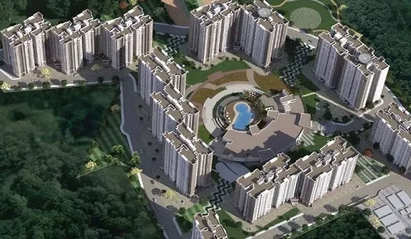
Nambiar Beverly Green Map

Featured Image of Nambiar Beverly Green Map


Nambiar Beverly Green is located on the southern stretch of Bannerghatta Road, south Bangalore, near Bilwaradahalli. The coordinates are 12.823744, 77.571837. On the map, Bannerghatta Road runs north into the city and south into Bannerghatta National Park, placing this address near the green, forest-facing end of that corridor.

Plot this location on a map and the pattern is simple. The city centre lies north. Electronic City lies east, reached via NICE Road. Bannerghatta National Park and the Nature Camp lie directly south, just 3 km away. The airport sits far north, at the opposite edge of the metropolitan area.

Commuting Options Visible on the Map


Bannerghatta Road is the single corridor running through this location, and every commute option branches from it.

Road Network

State Highway 87 runs through this address for its full 45 km stretch. It meets the Outer Ring Road at Jayadeva Hospital, north of the site. It meets NICE Road near Gottigere, opening a route east toward Electronic City and Hosur Road.

Metro Line

The map depicts the Pink Line traversing along Bannerghatta Road, with its southern terminus at Kalena Agrahara, which is 6.3 km north of the site. That stretch was anticipated to be in mid-August 2026, but reports indicate that there may be a slight delay.

Yelachenahalli and Silk Institute are the closest functional metro stations, located 12.5 km away to the north-west on the Green Line.

Bus Network

Three BMTC bus stops are visible on the map near this location. Bilavaradahalli Cross is located only 190 m from the gate. Frequent buses to Majestic are available from Bilavaradahalli, 1.5 km and from Bannerghatta Circle, 2.3 km. A direct airport bus, KIA-14A, starts from Bannerghatta Circle.

Airport Route

The airport is 68 km from this address, marked at the far northern edge of the city map. Two routes lead there, one through the city centre and one via NICE Road toward Tumkur Road.

Basic Facilities Marked Near Nambiar Beverly Green


Schools, hospitals, malls, and tech parks near this address are concentrated north along Bannerghatta Road, with employment hubs marked east.

Schools

Ryan International School is the closest marker on the map, 3 km North. EuroSchool Bannerghatta and Chrysalis High School are not far behind. National Public School, JP Nagar and Delhi Public School Bengaluru South are located in the north-west, towards the city.

Hospitals

Medax Hospitals, Gottigere is the nearest hospital marker, located 5.9 km to the North. Noble Multispeciality Hospital and Narayana Nethralaya are also housed in the same area. Fortis and Apollo hospitals are a little further North, towards the city.

Malls

Royal Meenakshi Mall and Nexus Vega City Mall are placed north on Bannerghatta Road, the nearest two shopping destinations. Forum South Bengaluru and Elegance Mantri Mall are located further north-west. Gopalan Innovation Mall and M5 E City Mall are located to the east, near Electronic City.

Tech Parks

Electronic City is the largest employer on this map, located to the east of the site along NICE Road. Primeco Towers is located nearer, to the north-east of the given address. Kalyani Magnum Tech Park and IBC Knowledge Park are situated on the same north-eastern belt.

Reading the Map for This Address


An instant glance at the map shows why this location works. The southern boundary follows closely along a line of forest and farmland. To the North, it connects to the city, schools, hospitals and the soon-to-be-built metro.

The eastern route via the NICE Road route makes a direct, straight and short drive to reach Electronic City. Together, these three directions encapsulate what makes this address useful.

FAQs


1. Where exactly is Nambiar Beverly Green on the map?

Located on Bannerghatta Road, Bharat Sanchar Nakshatra is situated in the southern part of Bangalore near Bilwaradahalli.

2. What are the coordinates of Nambiar Beverly Green?

Coordinates are 12.823744, 77.571837.

3. On the map, how far is Nambiar Beverly Green from the city center?

The city lies to the North, and you can get there by traveling on Bannerghatta Road, passing through Gotrigere and Hulimavu.

4. What is the nearest metro line to Nambiar Beverly Green on the map?

The Pink Line, with a terminus at Kalena Agrahara, 6.3 km to the North of the site.

5. How far is Bannerghatta National Park from Nambiar Beverly Green?

The site is about 3 km from the main gate of the national park, which is located directly to the south.

Enquiry
Enquire Now