Schools Near Nambiar Beverly Green
The schools near Nambiar Beverly Green are Ryan International, EuroSchool Bannerghatta, ORCHIDS The International School, Chrysalis High, The Samhita Academy, National Public School (NPS) JP Nagar, VIBGYOR High, Candor International, Christ Academy and Delhi Public School Bengaluru South. They range from 3 km to 13 km, set down below nearest first with typical drive times that vary with traffic; further schools and colleges along the corridor, a number sharing the 560083 pincode that Bilwaradahalli holds, follow by street address.

The first question most families ask about Nambiar Beverly Green is about schooling. Ten schools have measured distances and measured travel times from the site, by car and by bike. Nearest is Ryan International School at 3 km and 8 minutes; furthest of the ten is Delhi Public School Bengaluru South at 13 km, 34 minutes by car and 33 by bike. All ten are in the first table below, nearest first, and the travel times are typical and vary with traffic and time of day. A genuine cluster of schools, ICSE, CBSE, IB and Cambridge, has grown along the southern reach of Bannerghatta Road, several of them holding the same 560083 pincode as Bilwaradahalli. A second section lists more schools by their published address. The nearest bus stop is included: Bilavaradahalli Cross at 190 m from the main gate, thinly served at about fourteen departures a day. Where no figure appears against a place, none has been measured for it. Measured hospital, mall and tech-park figures are on the hospitals page, the location overview and the connectivity page, and each metro distance carries the operating status of its station.
Measured Distances and Travel Times
Every distance is taken from the project coordinates, 12.823744, 77.571837, given by car and by bike and ordered nearest first, and each school carries a travel time for each mode. Travel times are typical and vary with traffic and time of day; a distance is fixed, while a journey time is a snapshot of the road.
| School | By car | Typical time by car | By bike | Typical time by bike |
| Ryan International School | 3 km | 8 min | 3 km | 8 min |
| EuroSchool Bannerghatta | 4 km | 9 min | 4 km | 9 min |
| ORCHIDS The International School | 4.1 km | 14 min | 4.1 km | 12 min |
| Chrysalis High School, Bannerghatta Road | 4.1 km | 11 min | 4.1 km | 10 min |
| The Samhita Academy | 7.3 km | 15 min | 7.3 km | 15 min |
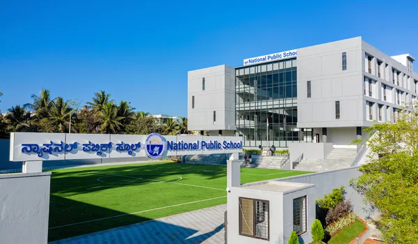
| National Public School (NPS), JP Nagar | 8.3 km | 21 min | 8.3 km | 17 min |
| VIBGYOR High School Bannerghatta | 8.9 km | 24 min | 7.8 km | 26 min |
| Candor International School | 10.7 km | 23 min | 10.7 km | 23 min |
| Christ Academy ICSE School | 11.1 km | 24 min | 11.1 km | 25 min |
| Delhi Public School Bengaluru South | 13 km | 34 min | 13 km | 33 min |
Only one school in the table differs in distance between the two modes, and it differs instructively. VIBGYOR High School Bannerghatta is 8.9 km by car against 7.8 km by bike, yet 24 minutes by car against 26 by bike, the car route runs a kilometre longer and arrives two minutes sooner, a longer road that moves better. Both sets of figures are published rather than averaged into one. Two further pairs repay reading against each other: ORCHIDS The International School and Chrysalis High School are both 4.1 km away, but Chrysalis is 11 minutes by car and ORCHIDS 14; and Candor International School at 10.7 km is 23 minutes while Christ Academy ICSE School, only 400 metres further at 11.1 km, is 24. On this corridor the road counts for more than the odometer, which is the same pattern the hospital figures and the tech-park commute figures show more sharply still.
One school on this page carries both a measured distance and a published address: Candor International School, 10.7 km by car and by bike, 23 minutes either way, at Begur–Koppa Road, Hullahalli, off Bannerghatta Road, near Electronic City, Bangalore 560105. The 560105 pincode is worth noticing, a different postal area from Bilwaradahalli, which is consistent with its being one of the further schools on the list. Website: candorschool.edu.in. It is listed here once and not repeated in the address section below.
One school differs in time but not in distance between the modes: National Public School (NPS), JP Nagar, at 8.3 km either way, 21 minutes by car and 17 by bike. It is the only entry in the table quicker by bike than by car, which is what a run up the built stretch towards JP Nagar looks like in practice. The campus is identified here as JP Nagar so there is no ambiguity about which NPS is meant, the trust runs several in Bangalore, and they are not interchangeable for a school run.
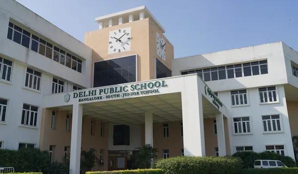
The Ten Measured Schools, in Photographs
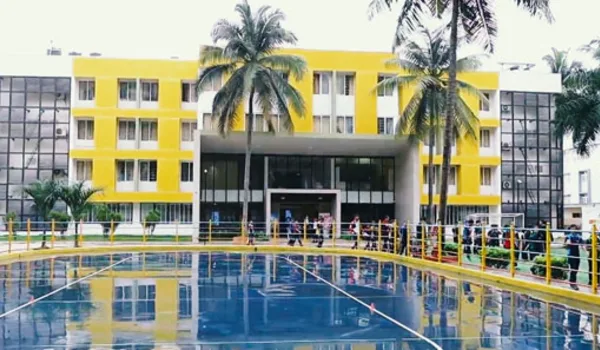
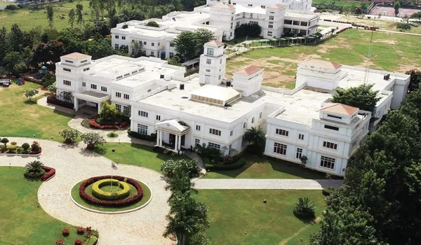
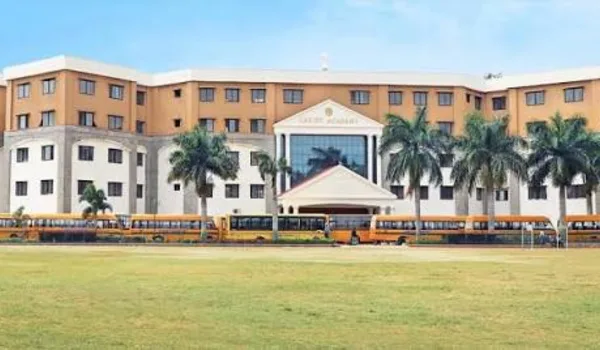
Below, each of the ten schools in the table appears once in photograph, kept in the table's order, nearest first. The measured distance and the measured typical time by car appear under each one, repeated from the table rather than restated.
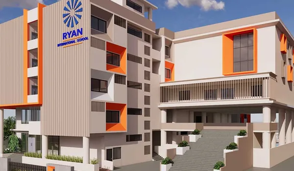
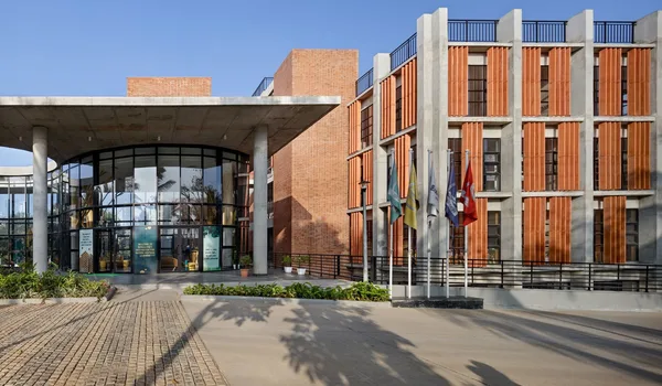
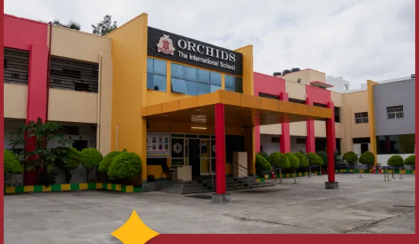
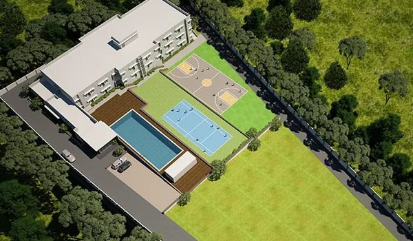

Corridor Schools Listed by Address
The schools below are listed by their published address. In character and in pincode they are the institutions closest to Bilwaradahalli, on Bannerghatta Road itself, or on its immediate continuation towards Jigani. Should you need a figure for one of them, put the address into a mapping app against 12.823744, 77.571837.
Sherwood High
Published address: No. 1, Basavanapura, near NICE Road Junction, Bannerghatta Road, Bangalore 560083. An ICSE school, standing on Bannerghatta Road where the NICE Road crosses it, the same junction that carries the eastward commute from this end of the corridor. Website: sherwoodhigh.com.
Radcliffe International School
Published address 15th Milestone, Bannerghatta Main Road, Bengaluru, Karnataka 560083, an IB and Cambridge IGCSE school on the Bannerghatta corridor. Website: radcliffe.in.
Sarala Birla Academy
On the Bannerghatta–Jigani road beyond the national park turn, this is a boys' residential and day school running ICSE and IB programmes. Published address: Bannerghatta, Jigani Road, Bangalore 560083. Website: saralabirlaacademy.org.
Global Indian International School, Bannerghatta
On the Bannerghatta stretch of the corridor, this is a CBSE campus run by the Global Schools Foundation. Published address: Survey No. 27, Gollahalli village, Jigani Hobli, Bannerghatta Road, Bengaluru 560083. Website: globalindianschool.org.
Government and Neighbourhood Schools
Away from the private cluster, government and neighbourhood schools serve the villages along the corridor, the larger concentration of them at Gottigere and Kalena Agrahara on Bannerghatta Main Road. Admission practice, medium of instruction and board vary from school to school, so check locally rather than relying on any aggregated list, this one included.
Colleges and Higher Education on the Corridor
Most of the corridor's higher-education weight is on the northern half of Bannerghatta Road, which is one of the reasons the road was chosen for a metro alignment.
Indian Institute of Management Bangalore
Opposite the Fortis and Apollo hospitals, in the Panduranga Nagar belt, IIM Bangalore holds a campus on Bannerghatta Road; its published address is Bannerghatta Road, Bengaluru 560076. The Pink Line station under construction there carries the institute's name, IIMB. Website: iimb.ac.in.
CHRIST (Deemed to be University), Bannerghatta Road Campus
Hulimavu, Bannerghatta Road, Bengaluru 560076 is the published address of the School of Business Studies and Social Sciences campus. Website: christuniversity.in.
Corridor Schools and Colleges, Published Addresses
| Institution | Published address | Board / programme |
| Sherwood High | No. 1, Basavanapura, near NICE Road Junction, Bannerghatta Road, Bangalore 560083 | ICSE |
| Radcliffe International School | 15th Milestone, Bannerghatta Main Road, Bengaluru 560083 | IB and Cambridge IGCSE |
| Sarala Birla Academy | Bannerghatta, Jigani Road, Bangalore 560083 | ICSE and IB |
| Global Indian International School, Bannerghatta | Survey No. 27, Gollahalli village, Jigani Hobli, Bannerghatta Road, Bengaluru 560083 | CBSE |
| Indian Institute of Management Bangalore | Bannerghatta Road, Bengaluru 560076 | Management institute |
| CHRIST (Deemed to be University), Bannerghatta Road Campus | Hulimavu, Bannerghatta Road, Bengaluru 560076 | University campus |
| Government and neighbourhood schools | Gottigere and Kalena Agrahara, Bannerghatta Main Road | State board and others |
Each address in the table comes from the institution's own published material. Candor International School is not repeated here, since its address and its measured distance are given together in the distance section above. Boards, programmes and campus arrangements change, so treat the table as a starting point for your own enquiries rather than a substitute for them.
What This Page Doesn't Cover
- No figure beyond the measured ones. The ten school distances and travel times above are measured, as is the 3 km to the Bannerghatta Nature Camp. No measured distance to any other school on this page is available, so none is printed; every other landmark this site names does carry one, including the three BMTC bus stops on the connectivity page. The measured hospital, mall, tech-park, Electronic City, airport and metro-station figures are on the hospitals, location and connectivity pages. Measure anything else from 12.823744, 77.571837.
- No rankings. Schools are not ranked here, and any list that ranks them on a builder's website is marketing rather than research.
- No fees. Fee structures change annually and vary by grade and programme; ask the school.
- No transport promises. Whether a given school's bus route covers Bilwaradahalli is a question for that school's transport office, and the answer can change year to year.
Practical Advice for a School Run From This Address
A school run on this corridor is shaped by two things. The first is that Bannerghatta Road is the only route, which makes a school north of you and a school south of you very different daily propositions even where a map suggests otherwise, morning traffic on the built stretch towards Gottigere and Hulimavu is heavier than traffic heading south towards Bannerghatta. The second is the school bus. Because the southern reach is developing scheme by scheme rather than as a continuous suburb, bus routes here follow demand and are extended as gated communities are occupied; confirm the current route with the school's transport office, and ask specifically about the Bilwaradahalli stretch rather than about "Bannerghatta Road", which the school will read as the built section further north. If you are shortlisting, drive the route at 7:45 am on a working day before you commit, that single test will tell you more than any table.
Where This Fits in the Location Case
The address is Bilwaradahalli, Bannerghatta Road, Bangalore 560083, at 12.823744° N, 77.571837° E. Schooling is the strongest part of it, and it is now the part carrying measured numbers behind it: four schools within 4.1 km, all four inside 15 minutes by car, and nine within 11.1 km, across ICSE, CBSE, IB and Cambridge. Past the measured ten there is an ICSE school at the NICE Road junction, an IB and Cambridge school at the 15th Milestone, a CBSE campus at Gollahalli and a residential ICSE and IB school on the Jigani road, all in the same postal area or its immediate neighbours. Hospitals and the metro are the weaker parts of the address: the nearest hospital is 5.9 km and 20 minutes by car, further out than the nearest four schools, and the nearest metro in service is 12.5 km away, the closer Kalena Agrahara station at 6.3 km not yet open. Both are set out on the hospitals page and the connectivity page. The locality itself is covered by the Bilwaradahalli guide, the corridor as a whole by the Bannerghatta Road page, and the address, coordinates and full connectivity picture by the location overview.
Frequently Asked Questions
1. How far are the nearest schools from the project?
Ten schools carry measured distances and travel times, from Ryan International School at 3 km and 8 minutes either way, out to Delhi Public School Bengaluru South at 13 km. Those times are typical and vary with traffic and time of day.
2. Why do some schools on this page carry no distance?
Because the measured set covers ten schools and stops there. Sherwood High, Radcliffe International School, Sarala Birla Academy and the Global Indian International School campus at Gollahalli appear by their published street addresses instead, as do IIM Bangalore and the CHRIST Bannerghatta Road campus.
3. Which boards and curricula are available on the corridor?
Sherwood High and Sarala Birla Academy run ICSE; the Global Indian International School campus at Gollahalli runs CBSE; Radcliffe International School and Candor International School run IB and Cambridge programmes, and Sarala Birla offers IB as well. Confirm current programmes with each school.
4. Are there colleges and universities nearby?
Yes, both on the northern half of the same road. CHRIST (Deemed to be University) has its Bannerghatta Road campus at Hulimavu; the Indian Institute of Management Bangalore is at Bannerghatta Road, Bengaluru 560076, the Pink Line's IIMB station is named for it.
5. Do school buses serve this stretch of the corridor?
Ask each school's transport office; the answer changes from year to year. Because the southern reach is developing scheme by scheme rather than as a continuous suburb, bus routes here follow demand. When you ask, name Bilwaradahalli specifically.
6. How should a family test the school run before buying?
Drive it at 7:45 am on a working day, from 12.823744, 77.571837 to the school gate. The times on this page are typical, and a typical time is not your time, the school run falls at the worst of the traffic.
Explore Nambiar Beverly Green