Nambiar Beverly Green Location
The address is Bilwaradahalli, on Bannerghatta Road, south Bangalore, Karnataka 560083, 3 km from the Bannerghatta Nature Camp. Coordinates, the full postal address and corridor connectivity follow below.
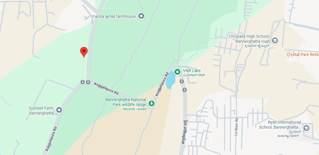
Nambiar Beverly Green is at Bilwaradahalli, on Bannerghatta Road in south Bangalore, Karnataka 560083, geo-tagged at 12.823744° N, 77.571837° E. That road is State Highway 87, which leaves Hosur Road at Adugodi and runs south through Arekere, Hulimavu and Gottigere before passing the national park. It is about 3 km from the Bannerghatta Nature Camp operated by Jungle Lodges and Resorts, the reach where the built-up city thins out and the wooded country around Bannerghatta National Park takes over. Gottigere is the postal head office for this address, and the site falls in the Bangalore South constituency.
Nambiar Beverly Green Address
- Locality: Bilwaradahalli, Bannerghatta Road; postal head office Gottigere.
- Road: Bannerghatta Road (State Highway 87), south Bangalore.
- Pincode: Bangalore, Karnataka – 560083.
- Latitude: 12.823744
- Longitude: 77.571837

Nambiar Beverly Green Connectivity
There is one road here, and that makes Nambiar Beverly Green connectivity simple to set out: Bannerghatta Road passes the site, running north into the city and south into the national park, and the Outer Ring Road, the NICE Road peripheral, the metro and the airport are each reached along it. The headline distances are 3 km to the Bannerghatta Nature Camp, 15 km to Electronic City (about 30 minutes), 12.5 km to the nearest operational metro at Yelachenahalli and Silk Institute on the Green Line, Kalena Agrahara on the Pink Line is closer at 6.3 km but not yet open, and 68 km to Kempegowda International Airport, roughly 2 hours.
School, hospital, mall, tech-park and BMTC bus-stop distances are set out in the sections below. The figures on this page are measured distances; where none has been measured, the page says so and describes the relationship in words, with the coordinates above to measure it yourself. Travel times are typical and vary with traffic.
Air Connectivity
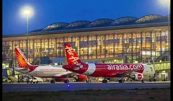
68 km away: 2 h by car, 1 h 58 min by bike, that is the journey to Kempegowda International Airport, which stands on the far northern edge of the metropolitan area, the opposite end of the city from this address and the longest trip any resident here will make with any regularity. Printing that plainly beats burying it: the site is in south Bangalore, the airport is north of the city, and any buyer establishes as much in a single search. Two routes are usual. One goes north up Bannerghatta Road and through the centre to the Outer Ring Road at Hebbal; the other goes west along the NICE Road from the Gottigere junction and round to Tumkur Road. Short is not a word for either, and the hour of departure changes both a great deal, so read the two hours as a typical figure rather than a floor and build in a buffer for an early flight.
Metro Connectivity
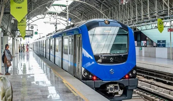
Kalena Agrahara is the closest station on the map, 6.3 km north of the site on Bannerghatta Road, and it is not open, it is the southern terminus of the Pink Line, and no section of that line is carrying passengers yet. The nearest metro station in service today is 12.5 km away. Yelachenahalli and Silk Institute, at the southern end of Namma Metro's operational Green Line, are each 12.5 km from this address.
| Station | Line | Distance from the site | Status |
| Yelachenahalli | Green Line | 12.5 km | Operational today |
| Silk Institute | Green Line | 12.5 km | Operational today |
| Kalena Agrahara | Pink Line | 6.3 km | Not open, expected September 2026 |
The Pink Line is aligned along Bannerghatta Road, running north from Kalena Agrahara, the station formerly named Gottigere, to Nagawara. Its six southernmost stations are elevated and stand on Bannerghatta Road itself: Kalena Agrahara, Hulimavu, IIMB, Jayaprakash Nagar 4th Phase, Jayadeva Hospital and Tavarekere; the other twelve are underground, through the centre of the city. Opening dates have already moved. The 7.5 km elevated stretch from Kalena Agrahara to Tavarekere was due on 15 August 2026, but Deccan Herald reported in July 2026 that the deadline would be missed and that the stretch is now expected in late August or early September, signalling validation being still incomplete and the statutory safety inspection still to follow. For the 13.76 km underground section from Tavarekere to Nagawara, the minister's stated deadline for the full corridor is March 2027, reported in June 2026 by The Hindu and The New Indian Express. Read both as expectations rather than commitments, the report described the line as delayed again, and check the current position with BMRCL before metro access enters a decision. About 25 minutes is the expected run to the city centre once the line is working; that is a projection for a service that has not started, not a measured time.
Road and Highway Network
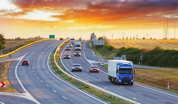
The road this site is on is State Highway 87. Over its 45 km it branches from Hosur Road at Adugodi, carries the Bannerghatta name through Arekere, Hulimavu and Gottigere, passes Bannerghatta National Park, and then runs on as the Jigani–Anekal and Anekal–Hosur roads to finish at Samanduru near the Tamil Nadu border. Two of its junctions matter here. At Jayadeva Hospital the Outer Ring Road crosses, which is the way onto the rest of the city's southern and eastern arc. Near Gottigere the NICE Road peripheral crosses, and for this end of the corridor that is the practical one: it takes traffic east to Hosur Road, Electronic City and Bommasandra without touching the city, and west and north toward Mysore Road and Tumkur Road. Jigani's industrial belt lies on the same highway, east of Bannerghatta.
Rail Connectivity
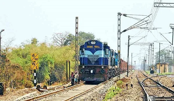
There is no railway station on the Bannerghatta Road corridor, and rail is the weak link here, better said plainly than dressed up. None of the four corridors of the Bengaluru Suburban Railway comes down this road; they follow the Devanahalli, Chikkabanavara, Whitefield and Hosur-side axes instead. Mainline departures are from KSR Bengaluru City and Bengaluru Cantonment in the centre of the city, and the nearest suburban halts lie off the corridor to the east, on the Bengaluru–Hosur line, reached via the NICE Road. Plan on driving, or, once it opens, on the metro from the northern stretch of Bannerghatta Road.
Bus Connectivity
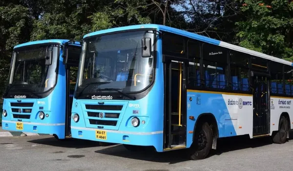
Because the road is the only spine here, the bus route for every settlement along it, Hulimavu, Gottigere, Kalena Agrahara, Bilwaradahalli, Bannerghatta, is the same one: BMTC runs the length of Bannerghatta Road, from the city centre out to Bannerghatta. Three BMTC stops serve this address, each with a measured distance. What separates them matters more than the distances do, because they are not served equally well.
| BMTC stop | Distance from the site | How well it is served | Routes and where they go |
| Bilavaradahalli Cross | 190 m from the main gate | Limited, about fourteen departures a day | 371-A, 371-C, 371-D to KR Market and Kempegowda Bus Station; 398-B to Chandapura and Kaggalipura; 211-NB to Bannerughatta Circle |
| Bilavaradahalli | 1.5 km | Frequent, direct to Majestic | 365-D, 365-DB, 365-E to Kempegowda Bus Station; 366-C, 366-G, 366-M to KR Market; 215-Z |
| Bannerughatta Circle | 2.3 km | The busiest of the three | 365-P to Anekal; 365-J to Jigani APC Circle; 366-E, 366-Q, 366-Z; 368; 370-A; and KIA-14A direct to the airport |
The Nearest Stop Is Close, but Thinly Served
Anyone relying on a bus daily should plan around Bilavaradahalli at 1.5 km or Bannerughatta Circle at 2.3 km, because those are the stops with the frequent Majestic routes, the 365-D, 365-DB and 365-E to Kempegowda Bus Station from the first, and the busiest set of all from the second. The closer stop reads better than it works. Bilavaradahalli Cross is 190 m from the main gate, a two-minute walk, but it is served by about fourteen departures a day, and that figure belongs in the same breath as the 190 m. A stop at that distance looks like excellent transit; fourteen departures means building each journey around a particular bus. Neither of the two frequent stops is a walk, they are a drive, an auto ride, or a hop on the 211-NB from the stop at the gate. Coming the other way, from Majestic, the run is about 1 h 13 min to Bannerughatta Circle and about 1 h 7 min to Bilavaradahalli.
The first bus is 5:51 AM and the last is 7:04 PM, nothing runs from the stop at the gate in the evening or at night, and between the 9:59 AM and the 12:14 PM there is a gap of more than two hours. The connectivity page carries the full fourteen-departure timetable. Timings as shown on Google Maps in July 2026. BMTC schedules change, check the live departure board at mybmtc.karnataka.gov.in before you travel.
A Direct Bus to the Airport
Easy to miss in a list of route numbers: KIA-14A runs from Bannerughatta Circle direct to Kempegowda International Airport. The airport being 68 km off and two hours by car, a direct service from a stop 2.3 km from the gate is genuinely useful.
Routes, Not Timetables, and the Spelling
For Bilavaradahalli Cross the held list runs first to last, all fourteen departures, which is why the complete day's service is published for that stop and for no other. The lists held for Bilavaradahalli and Bannerughatta Circle cover partial windows rather than a full day; printing them as timetables would understate the service at the two stops that are actually frequent, so no times are given for them. A note on spelling: the stops are named Bilavaradahalli and Bannerughatta by BMTC, while this site follows the project's postal address in writing the locality Bilwaradahalli and the corridor Bannerghatta Road, different spellings, same village and same road. Inside the community, the master plan sets aside a dedicated bus bay at the entrance plaza.
Nambiar Beverly Green, What Is Where on the Corridor
Direction and route are given here rather than invented kilometres, and a distance appears only on the rows we can source, the Nature Camp and the metro stations. The school, hospital, mall and tech-park distances, all measured, have their own sections below.
| Destination | Which way from the site | Distance and status |
| Bannerghatta Nature Camp (Jungle Lodges & Resorts) | South, on Bannerghatta Road | 3 km |
| Bannerghatta Biological Park | South, on Bannerghatta Road | The Nature Camp stands on the Biological Park campus |
| Gottigere and the NICE Road junction | North, on Bannerghatta Road | Postal head office for 560083; NICE Road crosses here |
| Kalena Agrahara (Pink Line southern terminus) | North, on Bannerghatta Road | 6.3 km, station not open; missed its 15 August deadline, now expected late August or early September |
| Yelachenahalli and Silk Institute (Green Line) | North-west, off the corridor | 12.5 km each, the nearest operational metro today |
| Jayadeva Hospital / Outer Ring Road | North, on Bannerghatta Road | SH-87 meets the ORR at this junction |
| Electronic City and Bommasandra | East | Via the NICE Road from Gottigere |
| Jigani and Anekal | East and south-east | On the SH-87 continuation past Bannerghatta |
| Kempegowda International Airport | Far north | 68 km, 2 h by car, 1 h 58 min by bike |
Places to Visit Near Nambiar Beverly Green
Few Bangalore arterials end in forest rather than in another suburb. Bannerghatta Road is one of them, and that is the character of the southern reach the site is on.
Bannerghatta Nature Camp, 3 km
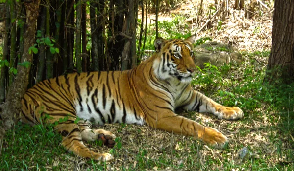
The Jungle Lodges and Resorts camp stands on the Bannerghatta Biological Park campus, near the Hakki-Pikki colony. Of all the facts about this address it is the one that describes it best: three kilometres from a forest camp, on a road that still runs city buses.
Bannerghatta Biological Park and National Park
At the southern end of the road, the zoo, safari and butterfly park take up a portion of the wider national park; the Nature Camp stands on the same campus, so the approach is the same one. Live at this end of the corridor and it becomes a standing family outing rather than a once-a-year trip.
Anekal Town
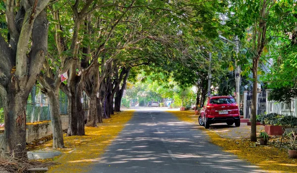
Further out along the same State Highway 87 past Bannerghatta and Jigani is a market town with old temples and local eateries. Worth knowing as a weekend run, though not as a neighbourhood errand.
Muthyala Maduvu (Pearl Valley), near Anekal
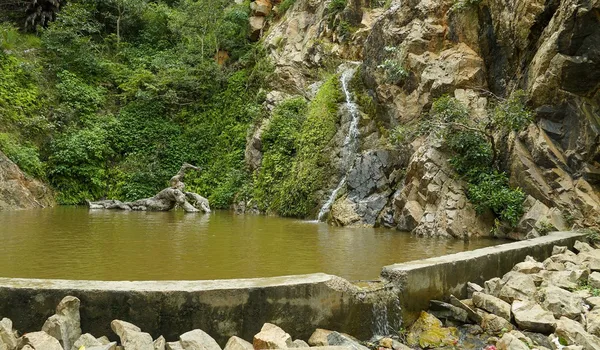
Beyond Anekal, again on the SH-87 side of the map, a small waterfall and a green valley. Reached the same way as Anekal, and an easy half-day picnic.
Bilwaradahalli and the Southern Reach of Bannerghatta Road
Between Gottigere and Bannerghatta, Bilwaradahalli is one of a string of villages along Bannerghatta Road, sharing the 560083 pincode with Bannerghatta, Kalkere, Ragihalli and Sakalavara. It is not a built-up suburb and does not read like one: this is granite-and-farmland country, turning residential from the Gottigere end southward one gated scheme at a time as the city has pushed past the NICE Road. The unusual part is that the spread has a ceiling. Because the road runs into the national park instead of on into the next suburb, the southern end of the corridor has stayed green in a way that Bangalore's other arterials have not.
Why the Location of Nambiar Beverly Green Matters
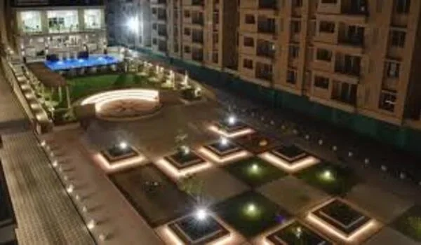
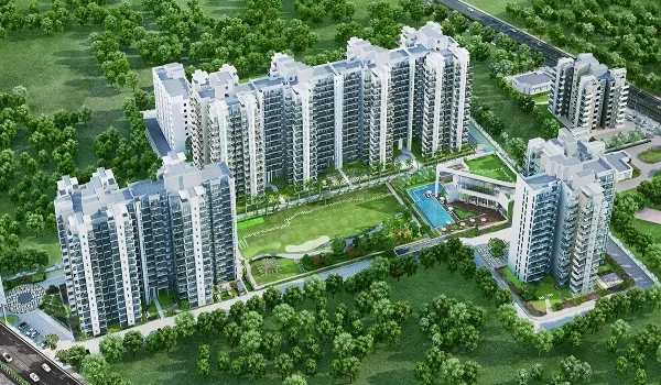
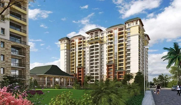
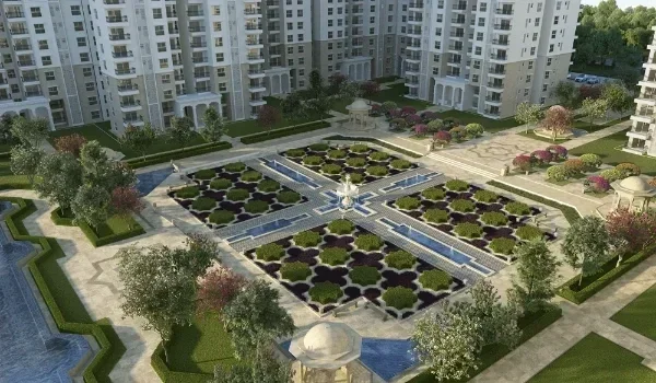
Three things carry this address. One is the arterial itself, a full one, with a metro line being built down its northern half, which is a rarity for a site that has forest three kilometres away. Another is the NICE Road crossing at Gottigere, the escape route that brings Electronic City, Bommasandra and Hosur Road within reach without a run through the city centre, and that is what makes a south-Bangalore address workable for a household commuting east. The third is the green edge, which is not incidental to the scheme: the master plan is laid out around six landscaped parks along the southern boundary, with 12 m internal roads, an entrance plaza and a small retail block at the gate.
What a Buyer Is Actually Getting Here
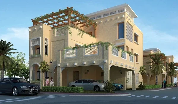
Land banking this is not; it is a villa community. What you buy is a built G+2 villa on a plot of 1,925 sq.ft. or 2,520 sq.ft., four bedrooms, a private lift serving all three levels, and a second floor given over to terrace. The indicative rate is ₹13,499 per sq.ft. of saleable area, about ₹5.48 Cr for a 35 × 55 and ₹6.82 Cr for a 40 × 63, inclusive of 5% GST and excluding registration and stamp duty. Those are indicative pre-launch figures, subject to change. No appreciation forecast is given for this corridor, because no sourced one exists.
Schools & Colleges
From Ryan International School at 3 km and 8 minutes to Delhi Public School Bengaluru South at 13 km, 34 minutes by car and 33 by bike, ten schools carry measured distances and measured travel times from the site, by car and by bike. The list below runs nearest first. Travel times are typical and vary with traffic and time of day. The schools near Nambiar Beverly Green page is the full one, and it adds the corridor schools and colleges we list by street address only.
| School | By car | Typical time by car | By bike | Typical time by bike |
| Ryan International School | 3 km | 8 min | 3 km | 8 min |
| EuroSchool Bannerghatta | 4 km | 9 min | 4 km | 9 min |
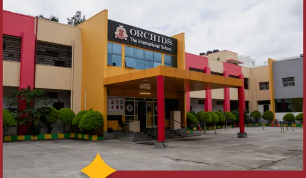
| ORCHIDS The International School | 4.1 km | 14 min | 4.1 km | 12 min |
| Chrysalis High School, Bannerghatta Road | 4.1 km | 11 min | 4.1 km | 10 min |
| The Samhita Academy | 7.3 km | 15 min | 7.3 km | 15 min |
| National Public School (NPS), JP Nagar | 8.3 km | 21 min | 8.3 km | 17 min |
| VIBGYOR High School Bannerghatta | 8.9 km | 24 min | 7.8 km | 26 min |
| Candor International School | 10.7 km | 23 min | 10.7 km | 23 min |
| Christ Academy ICSE School | 11.1 km | 24 min | 11.1 km | 25 min |
| Delhi Public School Bengaluru South | 13 km | 34 min | 13 km | 33 min |
Only at VIBGYOR High School Bannerghatta do the two modes differ in distance, 8.9 km by car against 7.8 km by bike, and the car route, a kilometre longer, arrives two minutes sooner, 24 minutes against 26. Both figures are published rather than averaged. ORCHIDS and Chrysalis High are the same 4.1 km away and three minutes apart by car, and National Public School (NPS), JP Nagar at 8.3 km is the single school the bike reaches faster than the car, 17 minutes against 21. Several other institutions on the corridor, Sherwood High at Basavanapura near the NICE Road junction, Radcliffe International School at the 15th Milestone, Sarala Birla Academy on the Bannerghatta–Jigani road, the Global Indian International School campus at Gollahalli, IIM Bangalore and the CHRIST Bannerghatta Road campus, appear on the same page by published street address, because no distance to them has been measured.
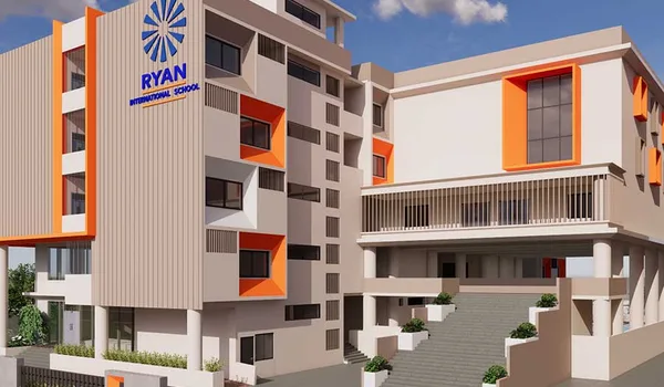
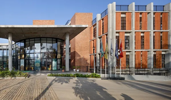
Photographs of the three nearest of the ten, each with its measured distance and its measured typical time by car repeated beneath it. All ten are pictured on the schools near Nambiar Beverly Green page.
Employment Hubs
Six tech parks carry measured distances and measured travel times, listed nearest first, from Primeco Towers at 10.6 km to AKR Tech Park at 18.9 km. Ahead of all of them comes the figure most households here will care about first: Electronic City is 15 km from the site, 30 minutes by car and 30 minutes by bike, the single largest employment destination this end of the corridor serves. Travel times are typical and vary with traffic and time of day; they are measured figures rather than conversions from the kilometres beside them.
| Destination | Distance from the site | Typical time by car | Typical time by bike |
| Electronic City | 15 km | 30 min | 30 min |
| Tech park | Distance from the site | Typical time by car | Typical time by bike |
| Primeco Towers | 10.6 km | 29 min | 36 min |
| Kalyani Magnum Tech Park | 11.7 km | 45 min | 41 min |
| IBC Knowledge Park | 13.9 km | 52 min | 47 min |
| Velankani Tech Park | 14.8 km | 33 min | 32 min |
| AMR Tech Park | 15.1 km | 46 min | 46 min |
| AKR Tech Park | 18.9 km | 46 min | 44 min |
Weigh the time, not the kilometres. Take the two extremes in that table: Kalyani Magnum Tech Park is 11.7 km and 45 minutes, while Velankani Tech Park is 14.8 km and 33 minutes, the Kalyani journey is three kilometres shorter and twelve minutes longer. Both are on the same arterial, and they tell opposite stories. Choosing between two employers on this corridor, a buyer should compare the minutes, because the road each journey uses matters more than the distance it covers. Primeco Towers is the one entry where the bike is slower than the car, 36 minutes against 29, and it is published as given. Now set Electronic City at 15 km, 30 minutes by car and 30 minutes by bike against that table and the point sharpens: further in kilometres than four of the six tech parks, and quicker than all six, because the NICE Road from the Gottigere junction does the work. Bommasandra, Jigani and the Bannerghatta Road office belt, the remaining employment areas this end of the corridor serves, have no measured distance from this site, so the table below gives them by direction and route instead.
| Employment Hub | How it relates to the site |
| Bannerghatta Road office belt | North on the same road, around IIM Bangalore and Panduranga Nagar |
| Electronic City Phase 1 & 2 | East, via the NICE Road from the Gottigere junction, 15 km, 30 minutes by car and 30 by bike |
| Bommasandra Industrial Area | East, via the NICE Road to Hosur Road |
| Jigani Industrial Area | On the SH-87 continuation east of Bannerghatta |
| Anekal | South-east, further along SH-87 |
| Central Bangalore | North, where Bannerghatta Road meets Hosur Road at Adugodi |
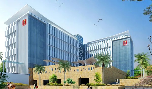
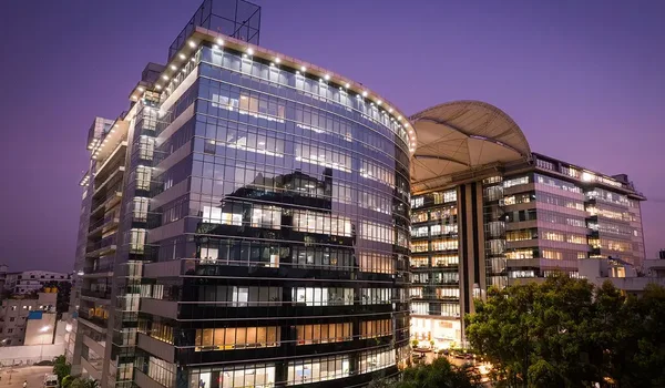
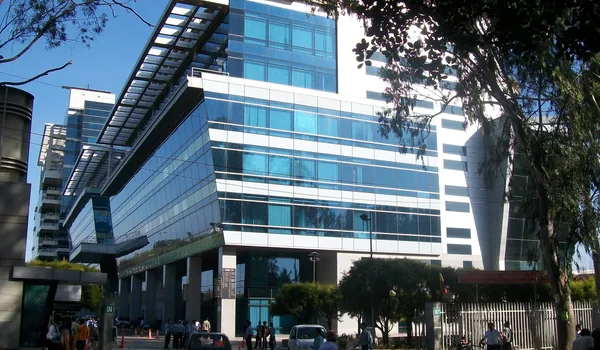
Photographs of the three nearest of the six tech parks, each with its measured distance and its measured typical time by car repeated beneath it. All six are pictured on the connectivity page, and the IT parks near Nambiar Beverly Green page sets out the six with distances and drive times.
Shopping & Recreation
Six malls carry measured distances from the site, by car and by bike, listed nearest first, Royal Meenakshi Mall at 7.5 km at one end, M5 Ecity Mall at 17.9 km by car and 17.3 km by bike at the other. Distances are all that has been measured; no drive time exists for any mall, so none is given.
| Mall | By car | By bike |
| Royal Meenakshi Mall | 7.5 km | 7.5 km |
| Nexus Vega City Mall | 11.2 km | 11.2 km |
| Forum South Bengaluru | 11.6 km | 11.6 km |
| Elegance Mantri Mall | 11.6 km | 11.6 km |
| Gopalan Innovation Mall | 13 km | 13 km |
| M5 Ecity Mall | 17.9 km | 17.3 km |
Elegance Mantri Mall is also commonly written "Mantri Elegance"the same mall, and the alternate form is noted here so a search on either term lands on the right entry. Between the two modes only M5 Ecity Mall differs, 17.9 km by car and 17.3 km by bike, and both figures are published rather than averaged. Royal Meenakshi Mall is at Cave Temple Road, Hulimavu, on Bannerghatta Main Road 560076, and Nexus Vega City Mall is on Bannerghatta Road 560076, both on the corridor itself, north of the site, which is why they are the two nearest. Beyond the malls, daily needs and neighbourhood retail are at Gottigere and Kalena Agrahara on Bannerghatta Main Road; the master plan places a retail block at the project's entrance plaza; and the Bannerghatta Biological Park is south, at the end of the road. The malls near Nambiar Beverly Green page lists all six with their positions on the corridor.
Healthcare
From Medax Hospitals, Gottigere at 5.9 km to the Narayana Institute of Cardiac Sciences at 18.6 km, eight hospitals carry measured distances and measured travel times from the site, listed nearest first. Travel times are typical and vary with traffic and time of day. The hospitals near Nambiar Beverly Green page is the full one, and it adds the hospitals listed by street address only.
| Hospital | Distance from the site | Typical time by car | Typical time by bike |
| Medax Hospitals, Gottigere | 5.9 km | 20 min | 18 min |
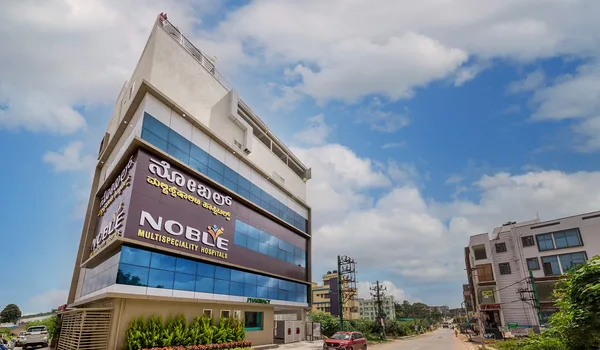
| Noble Multispecialty Hospital | 6.8 km | 23 min | 21 min |
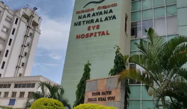
| Narayana Nethralaya, an eye hospital | 7.3 km | 26 min | 22 min |
| Sri Sairam Hospital, Hulimavu | 9.7 km | 32 min | 28 min |
| Fortis Hospital | 10.1 km | 37 min | 34 min |
| Apollo Hospital | 10.9 km | 41 min | 37 min |
| Manipal Hospitals, Jayanagar | 13.4 km | 49 min | 43 min |
| Narayana Institute of Cardiac Sciences | 18.6 km | 42 min | 41 min |
Read the distances against the times and the ranking falls apart: the Narayana Institute of Cardiac Sciences is the furthest hospital at 18.6 km yet reaches in 42 minutes, seven minutes quicker than Manipal Jayanagar at 13.4 km, and only one minute slower than Apollo, which is 7.7 km nearer. Weigh the time, not the kilometres. One entry needs a caution of a different sort: Narayana Nethralaya is an eye hospital, not a general multispecialty, worth saying, since it is the third-nearest entry on the table and a reader scanning for emergency cover should not misread it. Vijayashree Hospital at Gottigere and the Sri Jayadeva Institute of Cardiovascular Sciences at the Outer Ring Road junction appear on the hospitals page by published street address, because no distance to them has been measured. For everyday needs, clinics, diagnostics and pharmacies are distributed through Gottigere and Kalena Agrahara on Bannerghatta Main Road.
Photographs of the three nearest of the eight, each with its measured distance and its measured typical time by car repeated beneath it. Six of the eight are pictured on the hospitals near Nambiar Beverly Green page.

The Location in Detail
A buyer usually wants to examine the parts of this address one at a time, and six pages go further into them. Each follows the same approach as this page: measured distances where they exist, and street addresses, directions and junctions everywhere else.
- Bannerghatta Road, the corridor: State Highway 87 along its whole 45 km, and how the southern reach differs from the IIM-B stretch.
- Bilwaradahalli: the immediate locality, pincode 560083, postal head office Gottigere, roughly 900 m above sea level like Bengaluru generally, and what the pocket is actually like.
- Connectivity: roads, the NICE Road link, the metro under construction, buses, rail and the airport.
- Schools nearby: ten schools with measured distances and travel times by car and by bike, plus the corridor schools and colleges listed by published street address.
- Hospitals nearby: eight hospitals with measured distances, from Medax Hospitals Gottigere at 5.9 km, plus the hospitals we list by published street address.
- Bannerghatta National Park: the park, the Biological Park and the Nature Camp.
*Travel times are published for the ten schools, the eight hospitals, the six tech parks, Electronic City at 30 minutes by car and 30 by bike, and the airport at 2 h by car and 1 h 58 min by bike; they are typical and vary with traffic and time of day. Malls are distance-only. Bilavaradahalli Cross has its full day's timetable published, fourteen departures, 5:51 AM to 7:04 PM, as shown on Google Maps in July 2026; BMTC schedules change, so check the live departure board at mybmtc.karnataka.gov.in before you travel. The other two stops have no times published, their held lists covering partial windows rather than a full day. The Majestic journey times of about 1 h 13 min and about 1 h 7 min are typical bus runs rather than measured figures. Metro opening dates and the expected 25-minute journey time are BMRCL's expectations for a service that has not started, not measured figures. Measure any other figure that matters to you in Google Maps from 12.823744, 77.571837 before you rely on it, and verify metro timelines with BMRCL.
Frequently Asked Questions
1. Where exactly is the project sited?
In south Bangalore, at Bilwaradahalli on Bannerghatta Road, Bangalore, Karnataka 560083, geo-tagged at 12.823744° N, 77.571837° E. The Bannerghatta Nature Camp run by Jungle Lodges and Resorts is 3 km away. Gottigere is the postal head office for the address.
2. Which employment hubs does this end of Bannerghatta Road serve?
Two directions. North along Bannerghatta Road is the office belt around IIM Bangalore; east, via the NICE Road from Gottigere, are Electronic City and Hosur Road. Electronic City is 15 km, 30 minutes by car. Six tech parks carry measured distances and travel times.
3. How close is the nearest metro station?
Today the nearest usable station is 12.5 km away, Yelachenahalli or Silk Institute, both on the operational Green Line. Kalena Agrahara is nearer at 6.3 km, but no part of the Pink Line is carrying passengers yet. Verify with BMRCL at bmrc.co.in.
4. Which distances does this page publish, and which does it not?
The location pages give measured distances covering schools, hospitals, malls, tech parks, Electronic City, the airport, the Nature Camp, metro stations and bus stops, with travel times where those have been measured too. Where no figure appears, none has been measured.
5. What is the current K-RERA position?
K-RERA registration has been applied for, with approval expected by 20 August 2026 and the status Applied: in process. Expressions of interest are being taken from ₹5 lakh, fully refundable at any point before you sign a formal agreement. Verify at rera.karnataka.gov.in.
6. What does a home here cost, and what is the case for the location?
The indicative rate is ₹13,499 per sq.ft. of saleable area, about ₹5.48 Cr for a 35 × 55, inclusive of 5% GST and subject to change. The location case: a metro line under construction, the NICE Road crossing, and a green southern reach.
Explore Nambiar Beverly Green








Nambiar Beverly Green Blog